Highway District 11

​​​​​​​​​​​​​​​ 


District 11 logo & I-75 roadway

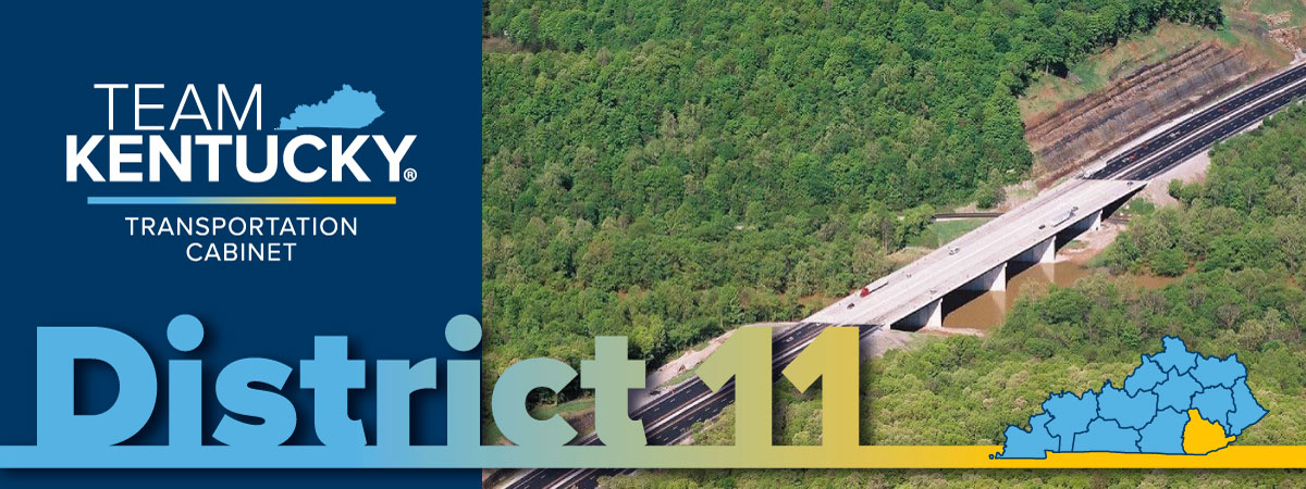
The Kentucky Department of Highways District 11​ oversees the construction and maintenance of highways in eight southeastern Kentucky counties: Bell, Clay, Harlan, Jackson, Knox, Laurel, Leslie, and Whitley. District staff coordinates all aspects of road development from planning, design, and right-of-way purchasing to administering construction contracts. The District 11 office also performs highway maintenance functions including pothole patching, mowing and snow removal.​
News Updates
Retrieving Data

‭(Hidden)‬ Content Editor ‭[8]‬

​Archive
Traffic Updates
No valid SP 2016 License Key
Evaluation Version (© 2017 AMREIN ENGINEERING AG)
  
Asphalt Rehab Project on I-75 in Whitley County Beginning Thursday
KY1850 (Mile Point 2.759) is now Open to Traffic Following the Completion of Diversion Around Existing Structure
Low Water Crossing on KY 1850 Over Phillips Fork in Clay County Set for Closure Tuesday
Vehicle height restrictions in place on KY 74 in Middlesboro
A portion of KY 3427 in Leslie County is closed due to slide repair operations
1 - 5Next

‭(Hidden)‬ Know Before You Go!

Visit the new GoKY page to see work zones on state highways across Kentucky! GoKY.ky.gov!

GoKY 


And, track snow plows or find out more about winter response at SnowKY.ky.gov!

SowKY_no-url.png 

District 11 Subscribe Button

Real-Time Traffic Information

GOKY.KY.GOV Web Site Address

Other KYTC Information
Drivers License Information
uPCOMING EVENTS AND MEETINGS 
Weather Related Road Closures
Eastern Kentucky Updates
Snow and Ice
Statewide Snow & Ice Updates
Snowky.ky.gov website address


District Map
Click a District number to view more information. 
 

​FEMA Public Notices

PUBLIC NOTICE FOR CLAY COUNTY
The Federal Emergency Management Agency (FEMA) has received a subgrant application from the Kentucky Department of Transportation (KYTC) for the replacement and improvement of the culverts at KY 638 MP 3.2. Pursuant to Executive Order 11988 and 44 CFR Part 9.12, notice is hereby given of FEMA's intent to provide funding for this project under the FEMA Public Assistance Program.

Under the National Environmental Policy Act (NEPA), federal actions must be reviewed and evaluated for feasible alternatives and for social, economic, historic, environmental, legal, and safety considerations. Executive Order (EO) 11988 and EO 11990 requires FEMA to consider alternatives and provide a public notice of any proposed actions in or affecting floodplains or wetlands. This notice may also fulfill requirements under Section 106 of the National Historic Preservation Act (NHPA).
This notice serves as a project-specific notice for FEMA's funding action located within a Special Flood Hazard Area

FEMA has determined the only practicable alternative is to fund the proposed culvert replacement. Funding for the proposed project will be conditional upon compliance with all applicable federal, tribal, state and local laws, regulations, floodplain standards, permit requirements and conditions. This action complies with the National Flood Insurance Program (NFIP) requirements.

Responsible Entity: FEMA Public Assistance Program

Applicant:
Kentucky Department of Transportation (KYTC)

Project Title(s):
Clay - KY 638 MP 3.2 Culvert Replacement

Location of Proposed Work and Floodplain Insurance Rate Map (FIRM) Panels:
FIRM Panel effective 09/28/2007. Site is located within a Zone A mapped floodplain.

Site is located within or adjacent to wetlands. (https://www.​fws.gov/wetlands/Data/Mapper html

Proposed Work and Purpose: The Kentucky Department of Transportation proposes to remove and two CMP culverts (55' long x 7' diameter) at KY 638 MP 3.2 and replace them with one 31' wide aluminum structural plate box culvert Additionally, the proposed action includes installing geotextile fabric and eight tons of riprap around the culvert's inlet and outlet ends and repairing associated road damage. 

These actions are intended to restore and protect the roadway and culvert, which provide access to multiple residences, from future flood-related damage.

Site(s) Name​GPS Coordinates
​FIRM Panel​

KY 638 MP 3.2, Clay County

​37.21856, -83.90206
​21051C0125C

Project Alternatives:

  1. No Action Alternative - The No Action alternative is not practicable because the project site is the only road leading to multiple residences located along KY 638; without a functional road in this location, many residences would be inaccessible.
  2. Relocation - This option is not practicable because it would render multiple residences along KY 638 inaccessible and limit access for emergency vehicles, which could have negative impacts on the health, safety, and welfare of the community

Comments: This will serve as both the initial and final public notice regarding the above-described action funded by the
FEMA PA program. Interested persons may submit comments, questions, or request a map of this specific project by writing to the Federal Emergency Management Agency, Region 4, 3005 Chamblee-Tucker Road, Atlanta, Georgia 30341, or by emailing FEMA.R4EHP@fema.dhs gov. Comments should be sent in writing or email with the subject line "Clay - KY 638 MP 3.2 Culvert Replacement" at the above addresses within 15 days of the date of this notice.

THIS NOTICE MAY BE REMOVED FROM PUBLIC VIEW ON THE 15th DAY FROM ORIGINAL DATE OF POSTING

NOTICE WAS POSTED ON
18th DAY OF JULY 2025


Snow & Ice Information
Statewide Snow & Ice Updates
Snowky.ky.gov website address


Public Meeting Information


‭(Hidden)‬ Content Editor ‭[1]‬

​This page is maintained by Les.Dixon@ky.gov, who may be contacted to make corrections or changes.

Follow Us