Bicycle and Pedestrian Planning Resources

Map showing where bicyclists, runners and walkers travel. This may represent a small percentage of actual travel

Strava Heat Map of Kentucky depicting areas of the state with higher concentrations of bicycle and pedestrian travel

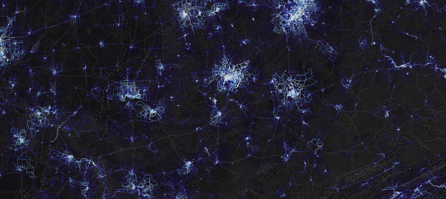
             Crowd-sourced, interactive map resulting from individual bicyclists volunteering to upload GPS information as they ride.  While not a record of every route used, it provides an indication of the bicycle traffic in an area.

​This page is maintained by jacob.rice@ky.gov, who may be contacted to make corrections or changes.

Department of Aviation

Airport Zoning Commission

Department of Rural and Municipal Aid

Local Programs
Local Public Agencies

Department of Vehicle Regulation

Drive.ky.gov
Motor Vehicle Commission

Powered by Google TranslateTranslate